|
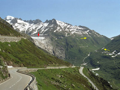
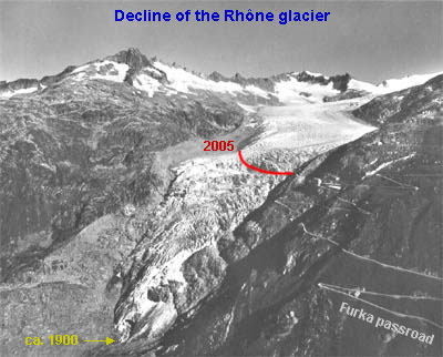
Introduction. The Furkapass is one of
the older passes in the Swiss Alps. The connection between Oberwald
(Kanton Wallis) and Realp (Uri) was established in 1867. With
a summit at 2431 meters the Furka belongs to the highest passes
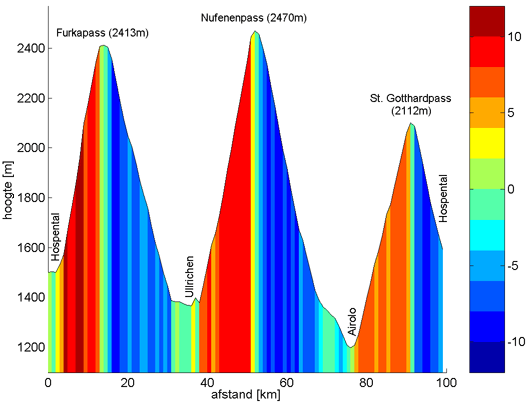
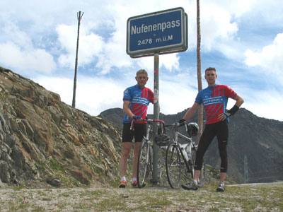
in Switzerland. After the Umbrail pass (see our 2004 cycling tour) the Nufenenpass is the highest pass in Switzerland. It is also one of the youngest; road construction was completed in 1964. The west slope (ascent from Ulrichen) is fairly steep, on average 8%, while the last 9 km are continuously 9% or more. The downhill section initially drops quickly (8-11%), but after the village of All'Aqua a more gently graded slope towards Airolo follows. It is a really nice pass that fully deserves the classification HC (hors catégorie = the most challenging passes). In Airolo there are four possibilities
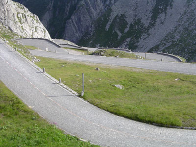
to cross the Gotthard massif: the old 1830 passroad
(indicated as Via Tremola, since most of the road is paved
with cobblestones), a much newer and wider asphalt road (used
by too many cars), transport by train through the Gotthard rail
tunnel to Göschenen, or ..... since 1980: the Gotthard road
tunnel (however strictly forbidden and probably lethal
for cyclists !). It will be clear that the Tour de Suisse and
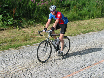
we have chosen for the classic variant (see photo
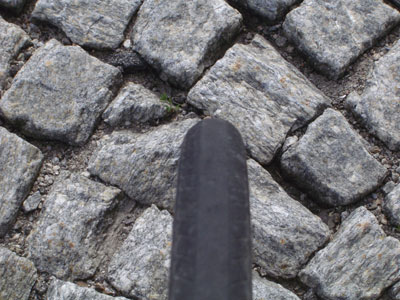
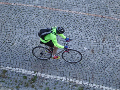
below). The first kilometer of cobblestones is funny, but after
another ten kilometers and many hairpins it becomes pretty irritating.
Happily the Gotthardpass is not particularly steep (7%
on average, max. 9%). Close to the top gusty winds took their
toll. The last kilometer was a real battle with the elements,
the pavement and gravity. Because the weather deteriorated rapidly
locals advised us to descent as quick as possible along the asphalt
road. Within a quarter of an hour we were back in Hospental. The
hot shower was a blessing. Some figures: Navigation: Start page | Day 1-3: Schwarzwald | Day 5: Oberalp-Göscheneralpsee | Day 6: Susten-Grimsel-Furka | Finally | Map of Central Switzerland (appears in separate window). The gradient profiles of the trips
on respectively day 1, day 2 and day 3 have been made by Ward
Oud in Matlab, based on the read out of his Polar S720i |
