|
Introduction.
We had the feeling that
a day of relative rest would help to recover from the Furka-Nufenen-Gotthard
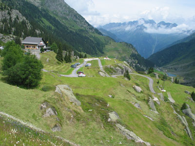
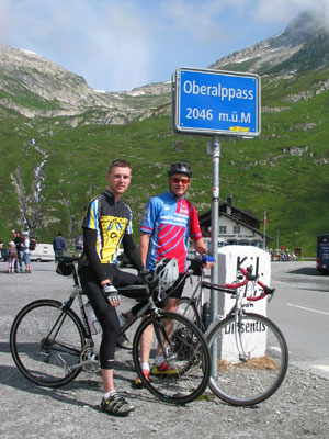
trip. In the morning we climbed and descended the west slope of
the Oberalppass, an old but fully upgraded east-west connection
between eastern and central Switzerland. Easy and therefore excellent
to recuperate.
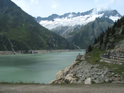
Our objective for the afternoon was cycling to the Göscheneralpsee,
a storage reservoir at 1782 m at the end of the Göschenertal.
The village of Göschenen is situated further down along the
Gotthard road. Between Andermatt and Göschenen the road winds
through a steep gorge. Cars and bikes have to share the fairly
narrow road and hundreds of meters of avalanche galleries. Downhill,
that is not really a problem cars are approximately as fast as
(racing) bikes, but late afternoon uphill was rather unpleasant:
a 10% slope, long and narrow galleries and heaps of cars, caravans
and trucks.
There couldn't be a greater difference between the unhealthy galleries
and the beauty of the Göschenertal. The climb to the Göscheneralpsee
is an absolute must. None of the passroads was so peaceful and
yet challenging as the road to the reservoir.
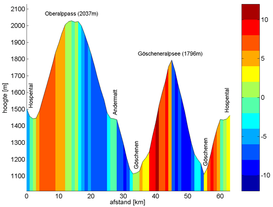
Click here for a gradient profile of the
daytrip and detailed profiles of the individual climbs.
Navigation: Start page
| Day 1-3: Schwarzwald | Day
4: Furka-Nufenen-Gotthard | Day 6: Susten-Grimsel-Furka
| Finally | Map of Central Switzerland (appears in separate
window).
Profiles and more
images.
The gradient profiles of the trip
on day 5 has been made by Ward Oud in Matlab, based on the read
out of his Polar S720i
Note that the given heights are based on the Polar readout, which
may differ from map readings.
|
